You are on SloveniaVillas, from TriesteVillas, a real estate group based in Trieste. The luxury of TriesteVillas, now on the Slovenian coast and the Karst. Leave us your details
12 min from the centre of Koper · 23 min from Piazza Unità
Hrvatini
You are on SloveniaVillas, from TriesteVillas, a real estate group based in Trieste. The luxury of TriesteVillas, now on the Slovenian coast and the Karst. Leave us your details
The facts
- Elevation
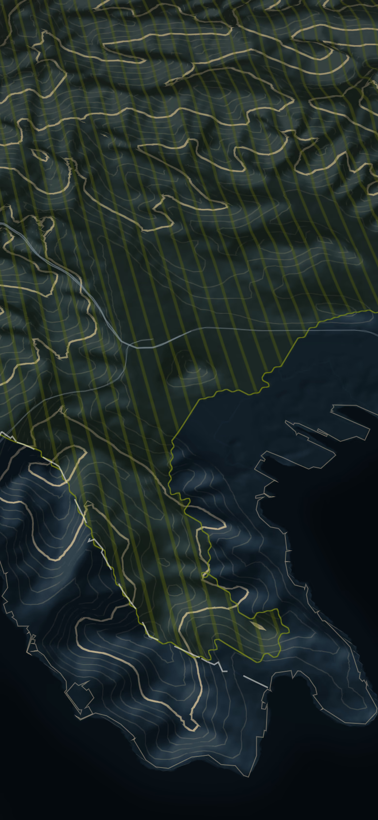
- 97 m – 169 mground elevation around the point; at the point 157 m
- From the centre of Koper
- 12 min7.9 km
- From Piazza Unità d'Italia
- 23 min17 km
- From Ljubljana
- 71 min105 km
- From Munich
- 5 h 25 min506 km
- From Vienna
- 5 h 10 min482 km
OSRM on OpenStreetMap data, without traffic, measured on 10 October 2026. Arrival and departure at the main square. · EU-DEM (Copernicus): ground elevation, not buildings.
Elevations describe the ground of the hill, not a house. Prices are never given for a single hill: too few sales for an honest median.
What the sources say
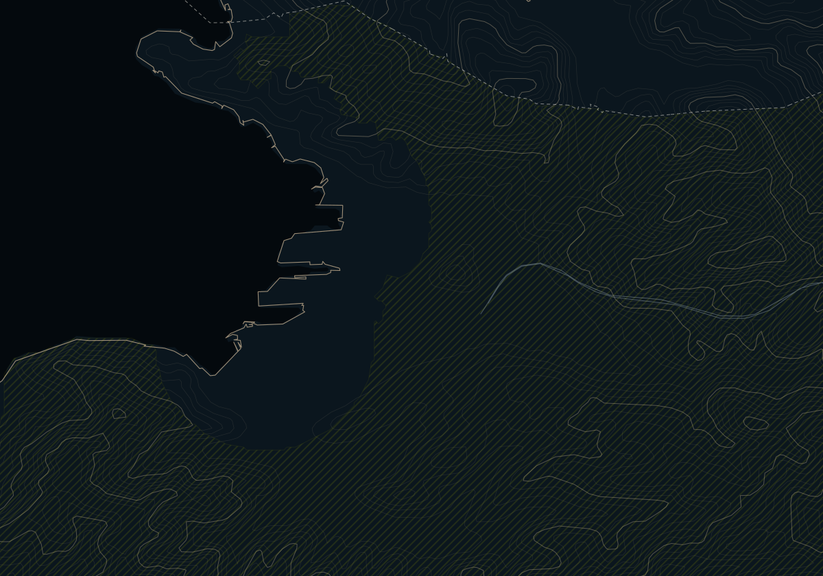
Hrvatini (Crevatini, official in Italian too) is the Slovenian side of the Muggia hill: hamlets along the ridge, Sodniki, Božiči and Fajti, and on the south slope, Brageti, Norbedi and Noveli, growing into one another. It historically belonged to Muggia and is now part of Koper, though the municipality of Ankaran wraps around it to the south and west and its postcode is Ankaran's. The local community also takes in Kolomban (Colombano), which borders Muggia to the north, Cerej (Cerei), part of which lies in Italy, and Premančan (Premanzano).
There is a shop, a bar, a fishmonger, the Slovenian primary school and branches of the Italian primary school and kindergarten. People come for the sea: in our viewshed model it is visible from almost the whole of Hrvatini and Kolomban, mostly the open bay and the gulf, and GURS, the state surveying authority, describes its Hrvatini–Škofije–Prade analysis area as south-facing with winter sun (within it, Prade faces north-west). Two cautions. The port and its cranes may also be in view: our model does not tell them apart from open water. And Cerej faces the other way, onto the Bay of Muggia and Trieste's industrial waterfront.
On ARSO's national landslide map about half of these villages falls in the two highest classes, and a sewer network for Ankaran and Hrvatini was approved only in September 2026. Ankaran is 6 min away, Koper 12 min, Piazza Unità in Trieste 23 min; the Italian border at Chiampore is a few minutes' drive. The border is a line, not a wall, but since 2023 Italy has notified temporary checks on it, currently until 18 December 2026: the times to Trieste do not include waiting.
Honestly
Choose it if
- You want the sea in front of the house and Italy a few minutes away
- Italian matters to you: Hrvatini is officially bilingual, with branches of the Italian primary school and kindergarten
- You want a south-facing slope with winter sun
Look elsewhere if
- You will not pay for a geotechnical survey: about half the hill is in the highest landslide classes
- You want more than basic shops within walking distance: for the rest there are Ankaran and Koper
- You are offered a house in Cerej as having a gulf view: it looks onto the Bay of Muggia and Trieste's industrial waterfront
Private Collection
Looking for a home in the hills of Koper? Tell us what you are looking for
For homes in Slovenia an agent entered in the Slovenian register replies, suggests homes and takes you to the viewings.
Sources
3
- OSRM on OpenStreetMap, without traffic · 10 October 2026
- European Commission, temporary reintroduction of internal border controls · 27 October 2026
- EU-DEM (Copernicus) · 5 October 2026
OSRM times assume free-flowing traffic. Real driving takes longer; by how much we have not yet measured. In summer, queues on the coast road can stretch the last leg considerably.