Skip to content
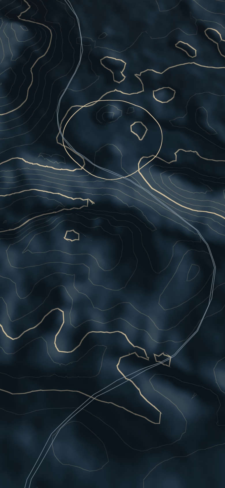
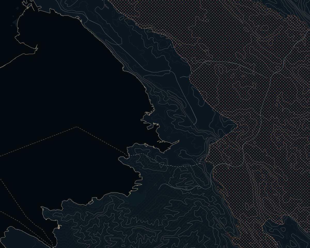
Terrain around Kozina, with contour lines
The Karst around Črnotiče in autumn: brown and golden woods, a hill with a quarry and its plant, houses and a bell tower on the right, power pylons; on the left the sea of the Gulf of Trieste with a town on the coast, snow-capped Alps on the horizon; bare branches in the right foreground. Late-afternoon light.Reworked with AIWarm late-afternoon light with a low sun from the left and long shadows, warmer autumn colours in the woods; less haze, so the sea and the Alps read better; natural sea colour. The hill with the quarry and its plant, the houses, the bell tower, the pylons, the coastline, the outline of the Alps and the branches in the foreground are unchanged.
Model
nano_banana_2
Source photo
View of Karst area around Crnotice from the Our Lady of the Snow church.jpg · Ajznponar
Licence
CC0
Date
5 October 2026
Its line in the credits
From the Karst above Črnotiče towards the Gulf of Trieste and the Alps.

25 min · 18 km from Piazza Unità d'Italia

Kozina and Hrpelje: the Karst junction above Trieste and Koper

In one sentence

Kozina and Hrpelje form one small town on the Slovenian Karst, split only by a railway, where the route from Ljubljana to Koper crosses the road from Trieste to Rijeka. Trieste is 25 min away on roads that need no Slovenian vignette, Koper 23 min on the motorway. It is a place of family houses, freight trains and quick access to the Slavnik, the Brkini hills and the Glinščica gorge, with no sea view and the services of a small town.

Fact sheet

By car, without traffic
FromDrive timeKilometres
TriestePiazza Unità d'Italia25 min18 km
Munich5 h 12 min485 km
Vienna4 h 57 min462 km
Graz3 h 01 min278 km
Ljubljana58 min85 km

OSRM on OpenStreetMap data, without traffic, measured on 5 October 2026. Arrival and departure at the main square.

Elevation
491 mfrom 458 m to 506 m around the point

EU-DEM (Copernicus): ground elevation, not buildings.

Airports by car
  • Trieste (TRS)47 min
  • Ljubljana (LJU)72 min
  • Portorož (POW)39 minGeneral aviation, no scheduled flights

Distances

Kozina and its neighbours

From Kozina to the other places, by car
The KarstDivača12 min11 km
The KarstSežana17 min22 km
The KarstLipica20 min14 km
RivieraAnkaran22 min25 km
Seaside townsKoper23 min26 km
The KarstTomaj & Dutovlje25 min27 km
Seaside townsIzola28 min32 km
RivieraStrunjan31 min37 km
RivieraPortorož34 min39 km
Seaside townsPiran41 min42 km

Highlighted: the three places most closely linked to this one in our register.

Airports

  • Trieste (TRS)47 min54 kmScheduled flights
  • Ljubljana (LJU)72 min105 kmScheduled flights
  • Venice (VCE)1 h 54 min163 kmScheduled flights
  • Portorož (POW)39 min44 kmGeneral aviation, no scheduled flights

OSRM on OpenStreetMap data, without traffic, measured on 5 October 2026.

All distances, from every starting city

Living here

Living in Kozina

A junction town on the plateau

Kozina and Hrpelje are two settlements separated only by the railway, and together they make one small town on the Karst plateau at 491 m. Hrpelje is the seat of the municipality of Hrpelje-Kozina; Kozina lies on the side of the main roads. The town sits where the Ljubljana–Koper route crosses the road from Trieste to Rijeka, and that crossing explains it as it is today.

The town grew with the railway. The Istrian line to Pula opened through Hrpelje-Kozina in 1876, and from 1887 to 1959 a second line ran down to Trieste; a marked footpath now follows part of its route. Until December 2007 the road to Trieste had a border crossing at Krvavi Potok–Pesek, abolished under Schengen. The Italian name, Erpelle-Cosina, dates from the Italian period of 1920–1947: it is historical, not official, and this is not a bilingual municipality.

The municipality spans the limestone of the Karst, the flysch hills of the Brkini and the edge of the Čičarija. To the west the plateau ends at the Kraški rob, the Karst edge: the step where the limestone drops onto the flysch hills of Istria, which the motorway and the railway both have to get down on their way to Koper. To the south rises the Slavnik, at 1,028 m the highest summit of Slovenian Istria.

Kozina is a working junction, not a postcard village. For now every freight train to and from the port of Koper passes through, and the station at Hrpelje-Kozina hosts the control centre of the Divača–Koper line. According to the Slovenian statistics office, the two towns have grown far faster than the national average over the past decade. Part of that growth coincides with the years of the second-track construction site, and the figures include foreign residents: some of it may be temporary workers rather than people settling for good.

Kozina, Hrpelje and the villages around

Kozina is the side of the motorway exit and of the road towards the former crossing at Pesek. Hrpelje, across the tracks, holds the town hall, the primary school and the health post; the station, named after both, sits on the line between them. Around the centre the ground varies between 458 m and 506 m, and on both sides the freight trains are part of daily life.

West and south-west, towards the Italian border, the villages sit lower. Klanec pri Kozini, the lowest in the municipality, lies by the source of the Glinščica, the stream called the Rosandra in Italian, which crosses into Italy near Botač (Bottazzo); from here the Val Rosandra is reachable on foot. Around Ocizla and Beka lies the Beka landscape park, protected since 1992: the Glinščica gorge, the caves of Ocizla and archaeological sites such as the Tabor above Botač. Prešnica, where the railway to Koper branches off, is the start of the easiest climb up the Slavnik, and Petrinje is the village closest to Koper.

To the east the character changes. Rodik is where the Karst meets the Brkini: a village with two trails of stone markers drawn from local myth, the Ajdovščina archaeological site above the houses and a station on the freight line. Tublje and Brezovica are small villages with no services beyond, at most, an inn; Artviže, the highest of these villages, is one of the starting points for walkers and cyclists. Further out, Materija, Slivje and Markovščina lie in the Matarsko podolje, described as the most complete example of contact karst in Slovenia: blind valleys where the streams coming down from the Brkini vanish into the limestone. Obrov, on the road towards Rijeka, is among the villages farthest from Trieste.

Sea view: no. None is verified from these villages, and the geography makes one unlikely; the sea shows from the summits. Lokev, sometimes placed in this area, belongs to the municipality of Sežana.

Plateau life, small-town services

This is plateau life. The sea is at Ankaran (22 min) or Koper (23 min) on the Slovenian coast, or at Barcola on Trieste's seafront (30 min). Services are those of a small town; for large stores people drive to Sežana, Koper or Trieste.

Health. The Sežana health centre (ZD Sežana) runs a clinic and an emergency medical post in Hrpelje, and there is a pharmacy. There is no hospital in the municipality. The hospital in Sežana is a specialist one (rehabilitation, long-term care, dialysis); the nearest general hospitals are at Izola on the coast and Cattinara in Trieste. Access to an Italian hospital for someone insured in Slovenia follows the cross-border healthcare rules: check before counting on it.

Schools. The public primary school is OŠ Dragomirja Benčiča Brkina in Hrpelje, and the municipality has its own kindergartens; teaching is in Slovenian. For secondary school there is the Šolski center Srečka Kosovela in Sežana, which includes a gimnazija. The International School of Trieste, founded in 1964 and running from pre-school to the final year of secondary, is in Opicina, 23 min by car.

Outdoors. The Slavnik has a mountain hut, the Tumova koča, just below the summit, open at weekends and on public holidays; summit and slopes have been a natural monument since 1992. The Beka park has marked trails, among them the Pot prijateljstva along the old salt road and the former railway to Trieste. The Škocjan Caves, a UNESCO World Heritage site since 1986, are just beyond Divača (12 min).

At the table. Gostilna Mahorčič in Rodik and Etna in Divača both hold a Bib Gourmand in the 2026 Michelin Guide Slovenia. The Brkini are plum and apple country, and Brkinski slivovec, a plum brandy, carries a Slovenian geographical indication. For theatre, concerts and cinema: the Kosovelov dom in Sežana, or Trieste.

Family houses, registry prices

GURS, the Slovenian surveying authority, analyses Kozina together with Divača as one zone, and in its 2025 report this is the part of the Karst where the homes sold are the most recent. Across the whole municipality the picture is mixed: the median house sold is older and comes with a large plot, and on the Karst village houses are often old, built in stone and in need of work. There is no luxury market to speak of: the premium here is a restored Karst stone house or a new house with land, not a high price.

The public register of sales (ETN) gives, for the municipality of Hrpelje-Kozina, contracts signed from January 2023 to August 2026:

  • Houses: 34 sales, with a median price of €177,000 and a median of 94 m2 of usable space; the middle half sold between €120,000 and €274,000. The median per square metre, €2,260/m2, divides a price that also pays for land and outbuildings by the floor area of the house alone, and GURS itself does not publish this figure for houses: read it as an order of magnitude.
  • Apartments: 62 sales at a median €3,340/m2 of usable space; median price €170,000, median size 58 m2, with some new builds among them. In Kozina alone, 43 sales at €3,360/m2; in Hrpelje, 16 at €3,020/m2, a thin sample.

A median is not the price of a house: it is the sale in the middle of the list, and a given property can sit far from it. Areas are the net usable floor space from the cadastre, smaller than the gross figure many listings quote. Prices are as signed in the contract, before the 2% transfer tax, and include VAT where it was charged, as a rule on new homes sold by companies. Before buying near the motorway or the railway, read the noise maps; on the dry Karst, ask how the house gets its water.

Getting there and getting around

From Piazza Unità in Trieste, Kozina is 25 min (18 km) via Basovizza and the former crossing at Pesek, on roads that need no Slovenian vignette. Koper is 23 min on the A1, Sežana 17 min, Ljubljana 58 min. From the north, the A1 from Ljubljana has its own Kozina exit: Klagenfurt 1 h 59 min, Graz 3 h 01 min, Salzburg 3 h 54 min, Vienna 4 h 57 min, Munich 5 h 12 min. All times are computed without traffic or stops; Austrian and Slovenian motorways need a vignette, and from Klagenfurt the fastest route crosses the Loibl pass, a mountain road, with the Karawanken tunnel as the alternative.

Flying. Trieste airport (TRS) is 47 min away; its summer 2026 timetable has Frankfurt and Berlin but neither Munich nor Vienna. Ljubljana (LJU) is 72 min, Venice (VCE) 1 h 54 min. Portorož airport (39 min) is general aviation, with no scheduled flights.

Rail and bike. The Hrpelje-Kozina station sees very few passenger trains; for Ljubljana, trains leave from Divača. The second track from Divača to Koper is being tested and is not yet in service, and no date has been set for regular traffic; how freight will then be split between the old and new lines is not yet public. By bike, coming from Trieste means climbing from sea level onto a plateau at 491 m. In practice, plan on a car.

The limits. Jams and accidents on the motorways, which the Škocjan Caves park cites as the reason its visitors arrive late; the freight line through town; and the border: a line, not a wall, but Italy has notified temporary checks since 2023, currently until 18 December 2026.

Real prices

What people actually paid in Kozina

Sales recorded by the Slovenian Surveying and Mapping Authority (GURS). Medians are published only with at least fifteen contracts, always with their number and period.
  • ApartmentsKozina (settlement)

    €3,360/m2median per square metre

    middle half €3,090/m2 – €3,540/m2median price €174,000 · median usable area 56 m2n = 43 · 2023 – August 2026 · GURS ETN

  • HousesMunicipality of Hrpelje-Kozina

    €2,260/m2median per square metre

    middle half €1,660/m2 – €2,820/m2median price €177,000 · median usable area 94 m2n = 34 · 2023 – August 2026 · GURS ETN

  • ApartmentsMunicipality of Hrpelje-Kozina

    €3,340/m2median per square metre

    middle half €2,760/m2 – €3,650/m2median price €170,000 · median usable area 58 m2n = 62 · 2023 – August 2026 · GURS ETN

Honestly

Is Kozina right for you?

Right for you if

  • Families who work in Trieste or Koper and want a house with a garden at Karst prices, with a primary school, a clinic and a pharmacy in town.
  • Walkers and cyclists: the Slavnik, the Beka park with the Glinščica valley (the Val Rosandra on the Italian side) and the Brkini start close to the door.
  • People whose week runs between Trieste, Koper and Ljubljana: Kozina is where the roads to all three meet.

Look elsewhere if

  • Anyone who wants to see the sea from the garden: no sea view is verified here.
  • Anyone who needs silence: the motorway passes the town and the busiest single-track freight line in Slovenia runs through it. If you come, look at the villages away from them.
  • Anyone looking for a high-end address or market: the registry shows a market of family houses.

Questions

Questions

How long does it take to drive from Trieste to Kozina?

25 min from Piazza Unità without traffic, via Basovizza and the former Pesek crossing; that route needs no Slovenian vignette. Italy runs temporary checks on its land border with Slovenia, currently notified until 18 December 2026, so allow some margin.

Can you see the sea from Kozina?

Not from the town, and no sea view is verified from the surrounding villages: the geography makes it unlikely. The sea shows from summits such as the Slavnik. The nearest stretch of coast is at Ankaran, 22 min away.

How much does a house cost in Hrpelje-Kozina?

In the public register of sales, the median house sold in the municipality between January 2023 and August 2026 went for €177,000, on 34 sales; apartments sold at a median €3,340/m2 of usable space. A median is not the price of a specific house: it is the middle of a list of very different properties. Prices are before the 2% transfer tax.

Where are the nearest schools and hospital?

Hrpelje has a public primary school, kindergartens, a clinic with an emergency medical post and a pharmacy. There is a secondary school, with a gimnazija, in Sežana. The nearest general hospitals are at Izola and in Trieste, and the International School of Trieste in Opicina is 23 min away.

Will the new railway bring more trains past Kozina?

Today all freight to and from the port of Koper uses the existing single-track line through Rodik, Hrpelje and Kozina. The second track from Divača to Koper, which runs mostly in tunnels, is being tested and has no date yet for regular service; how traffic will be divided once it opens is not yet public. For any house near the line, check the official noise maps.

Do I need Slovenian to live here?

For paperwork, yes. Hrpelje-Kozina is not a bilingual municipality: offices, notaries and documents work in Slovenian. Many people speak Italian, but here it is not an official language, unlike in the bilingual areas of the coast.

Private Collection

Let me know when homes in Kozina come in

Today we have no homes in Slovenia: we start during 2027, and those on the list hear first.

Put me on the list

Sources

OSRM times assume free-flowing traffic and are usually ten to twenty per cent shorter than real driving; on the coast in summer they can double.