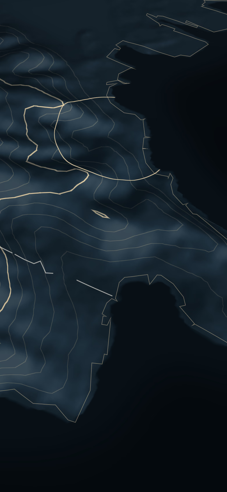

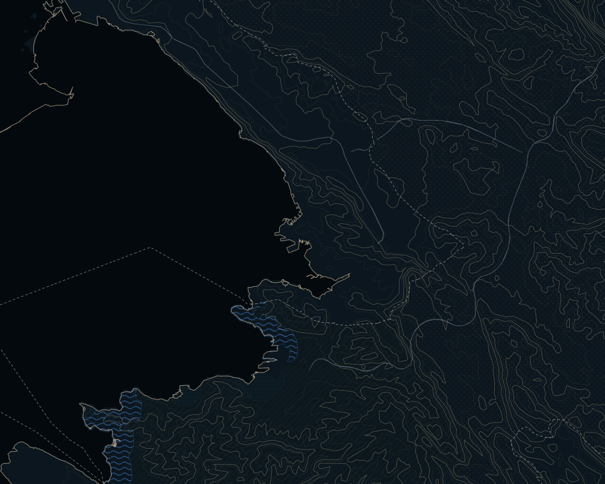

A park on one side, a port on the other
Ankaran is the Slovenian side of the Muggia peninsula: a strip of flysch cliffs, pines and beaches that runs from the Italian border at Debeli rtič (Punta Grossa) to the mouth of the Rižana, where the cranes of Luka Koper begin. It is the piece of Slovenian coast closest to Trieste and the youngest municipality in the country. The Constitutional Court separated it from Koper with a decision of 9 June 2011, and it has worked as a municipality since 1 January 2015. The whole municipality is one settlement, and all of it is officially bilingual: the statute declares its entire territory a nationally mixed area, so Italian is an official language here alongside Slovenian.
The history is older than the municipality. There are traces of prehistoric hillforts, Roman farm villas and the Via Flavia, the Roman road from Trieste to Pula, and in 2002 a stretch of Roman paving turned up at the Bivje junction. Around 1100 Benedictines from San Nicolò del Lido built the monastery of St Nicholas (Sv. Nikolaj); the Republic of Venice suppressed it in 1774, the Madonizza family of Koper made it a summer residence, and today it houses the hotel of the Adria complex. On 21 December 1909 a seaside hospice for children with bone tuberculosis opened at Valdoltra; it is now the orthopaedic hospital. From 1945 to 1954 Ankaran lay in Zone B of the Free Territory of Trieste. After the war it grew as a workers' district, while the port of Koper, begun in 1957, took shape across the bay.
That double nature is the honest summary. The western part is green and protected: since June 2018 the Debeli rtič landscape park has covered the peninsula between the bays of Valdoltra and Sv. Jernej, plus a strip of sea, 340 ha in all, of which 160 ha are sea. The centre and the east look across the bay at the port.