Skip to content
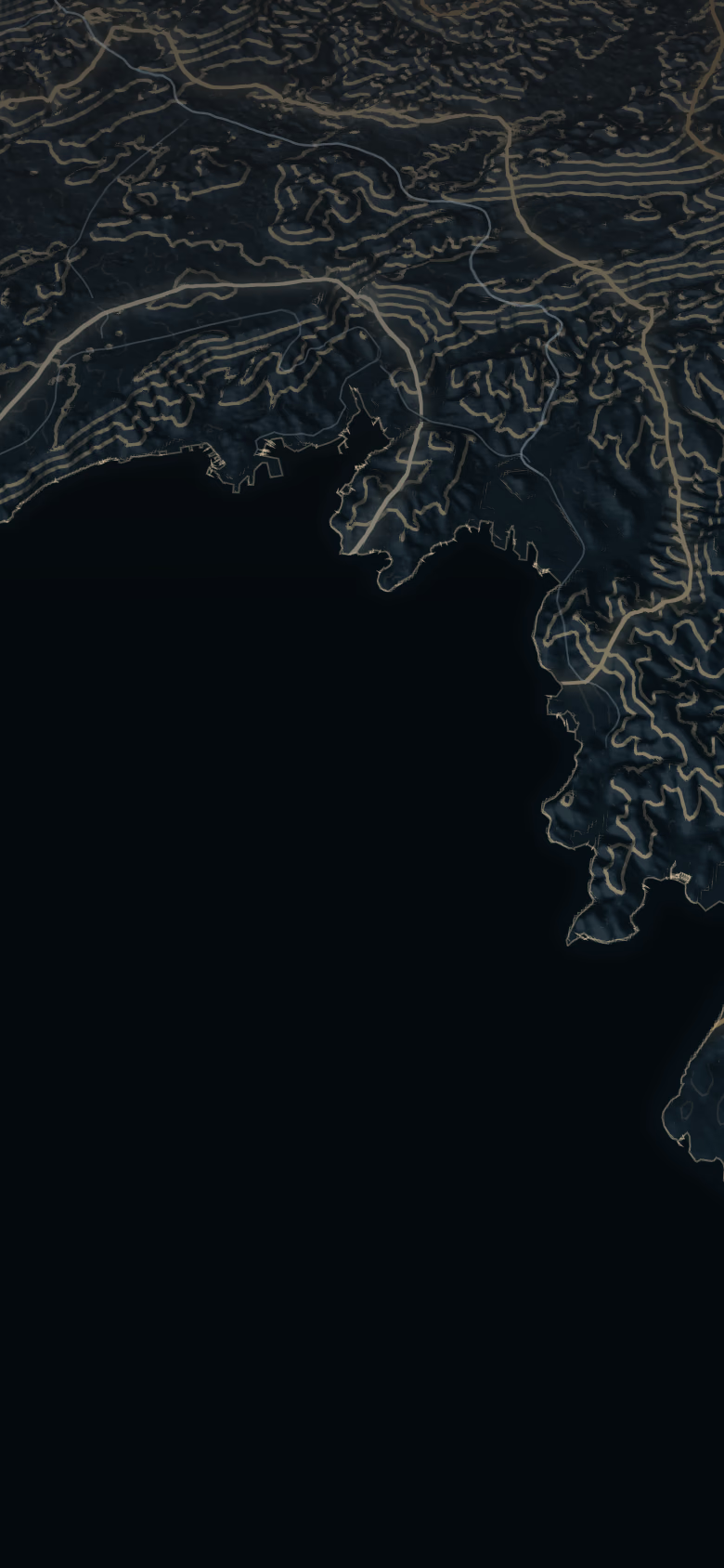
Relief of the Gulf of Trieste, the Slovenian coast and the Karst, with the four worlds

11 places · 4 worlds

The Slovenian coast and the Karst

On the other side of the border, 18 min to 45 min from Piazza Unità: Venetian towns on the water, the Riviera, the hills of Koper and the Karst plateau. Every place with its drive times, its elevation and the prices from the Slovenian public register.

The map

Four worlds, a short drive from Trieste

The lines are real contours, every fifty metres; the minutes under each name are by car from Piazza Unità, without traffic.

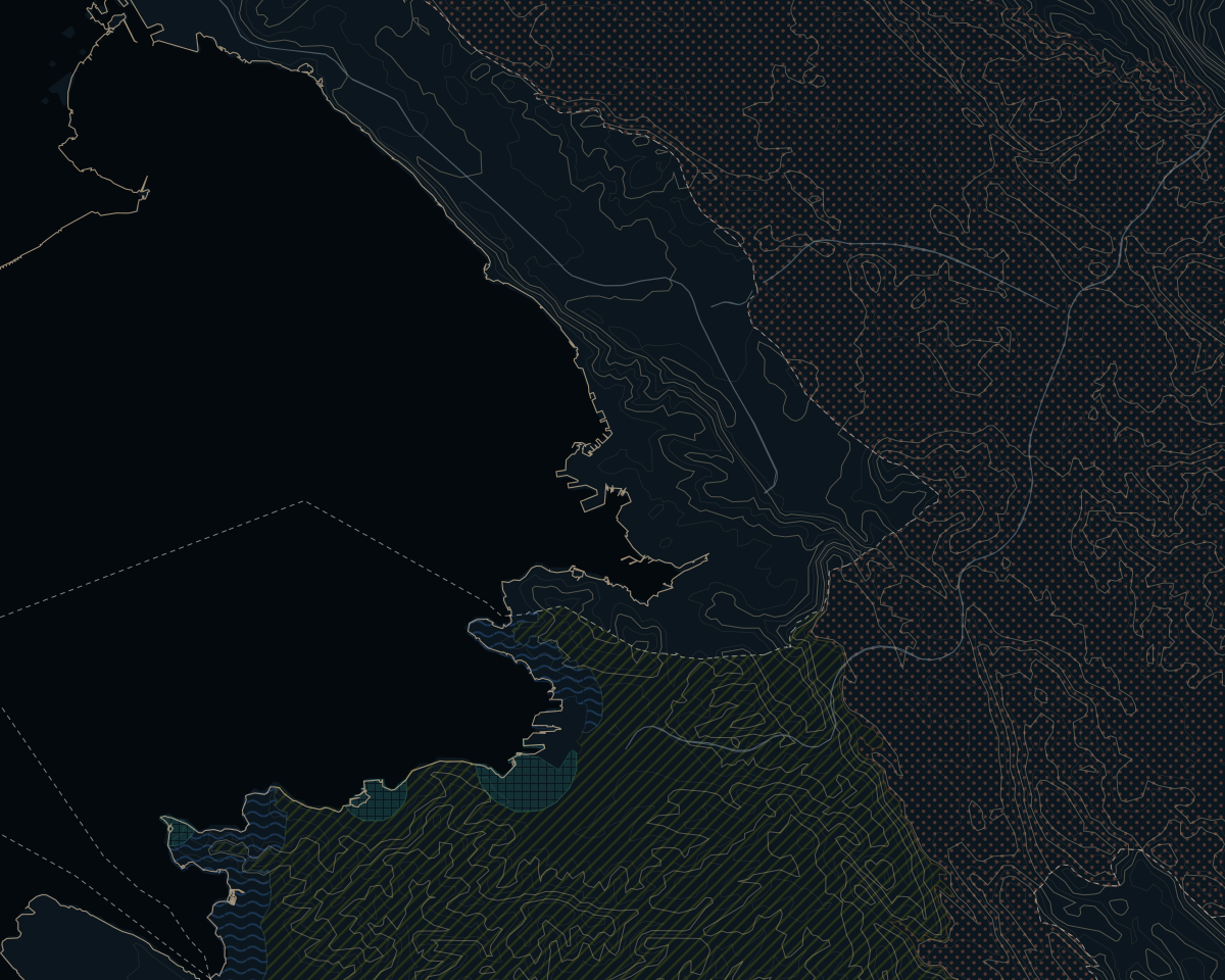
  • Seaside townsOld towns on the water, made for walking
  • RivieraSeafront promenades, marinas, pine woods and spas
  • The hills of KoperTerraces, olive groves and vineyards behind Koper
  • The KarstA stone plateau: black pine, Teran wine, sinkholes

World boundaries are indicative and drawn by us.
Old towns on the water, made for walking

Seaside towns
All about Seaside towns
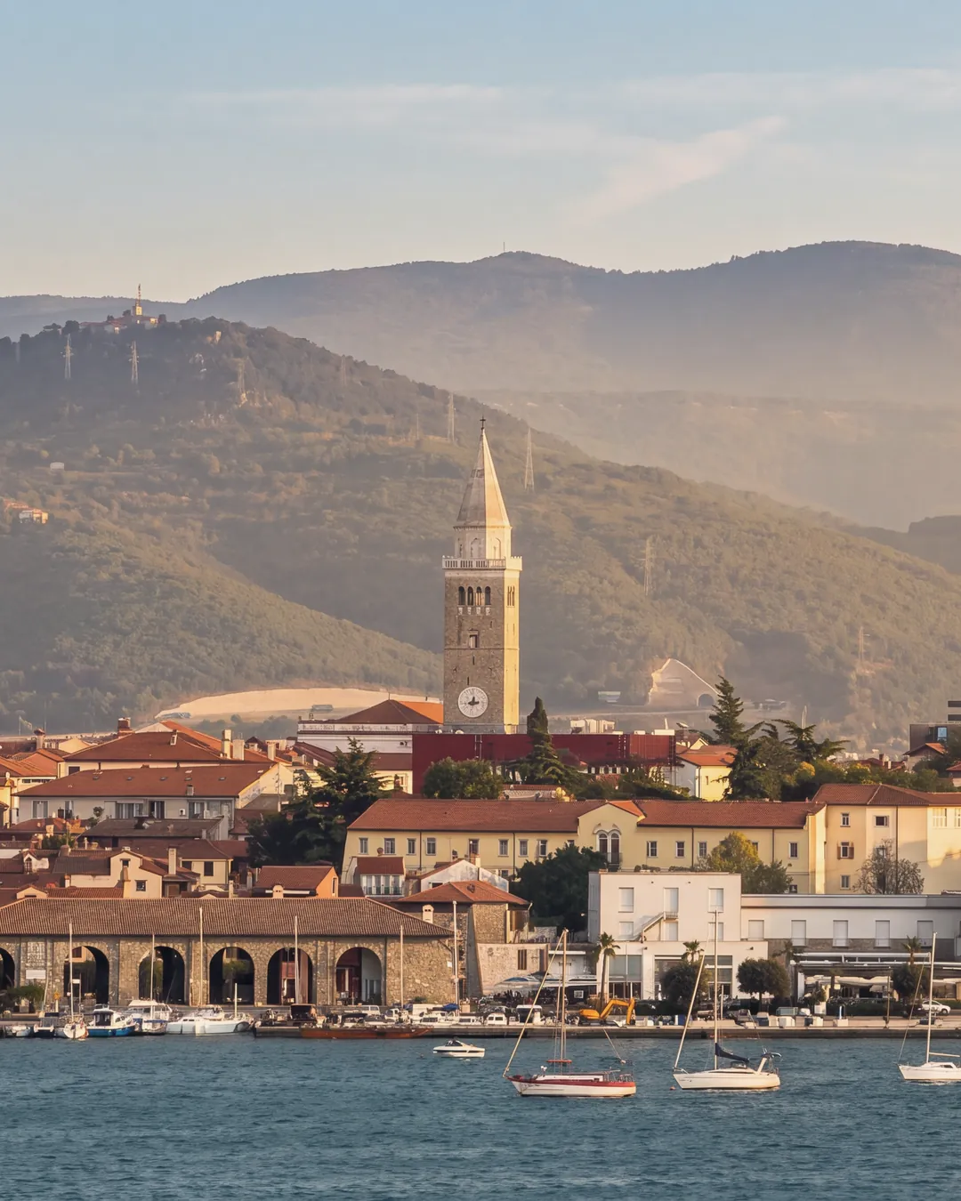
  • Koper seen across the water from Žusterna at golden hour: the cathedral bell tower, the red roofs of the old town, a stone building with arcades on the waterfront, the white modern buildings on the shore, a red-and-white lattice mast and a crane on the right, sailing boats moored in front; behind, wooded hills.Reworked with AIThe dark stormy sky of the original is replaced by a clear sky with a few high clouds; warm, low golden-hour light on the facades and the bell tower, a light warm haze on the hills, blue sea. The hotel lettering on the roof of the white building was removed; the model had invented other letters on the buildings behind, which were covered locally with nearby pixels (hillside and the building's own band). On the distant hills the model made pylons and buildings more legible than in the original, where they could barely be made out. Bell tower, old town, arcaded building, modern buildings, mast, crane, boats and the outline of the hills are unchanged.
    Model
    nano_banana_2
    Source photo
    View of Koper from Zusterna.JPG · Szilas (Wikimedia Commons)
    Licence
    Public domain
    Date
    5 October 2026
    Its line in the credits
    Koper from the water. The golden evening light was recreated with AI.

    Koper

    27 minfrom Piazza Unità, by car

    21 kmelevation 15 m
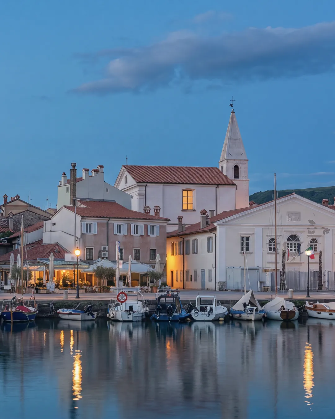
  • Izola's small harbour at blue hour: fishing and pleasure boats moored along the quay, Venetian-style houses in pastel colours, a church with its bell tower and a white classical building; street lamps and some windows lit, reflections on the calm water.Reworked with AIThe cloudy day of the original becomes blue hour: blue sky with a few clouds, street lamps along the quay and some windows and restaurants lit, calm water with reflections instead of choppy green water. The cars parked on the quay, the people, some road signs in front of the white building and the legible shop signs were removed; the temporary fence in front of the white building and the patches of peeling plaster on its façade were redrawn by the model. The model had altered other parts of the white classical building: the Lion of Saint Mark with the book in the pediment, the Slovenian, EU and Italian flags with their poles, the panel below the window, the sailing boat crossing the façade, the trunks of the pollarded palms and the street-lamp lantern were brought back from the original photograph by local compositing, aligned and colour-matched. Where the model had written invented pseudo-letters, the three road signs near the building (no entry, arrow, parking) were brought back from the photograph, and the shop signs, boards and small plates were blanked or blurred locally. The houses, the church and bell tower, the quay and the number and position of the boats are unchanged.
    Model
    nano_banana_2
    Source photo
    Izola, Slovenia, 20240502 1331 7626.jpg · Jakub Hałun
    Licence
    CC BY 4.0
    Date
    5 October 2026
    Its line in the credits
    Izola harbour. The blue hour and the car-free quay were recreated with AI.

    Izola

    32 minfrom Piazza Unità, by car

    26 kmelevation 8 m
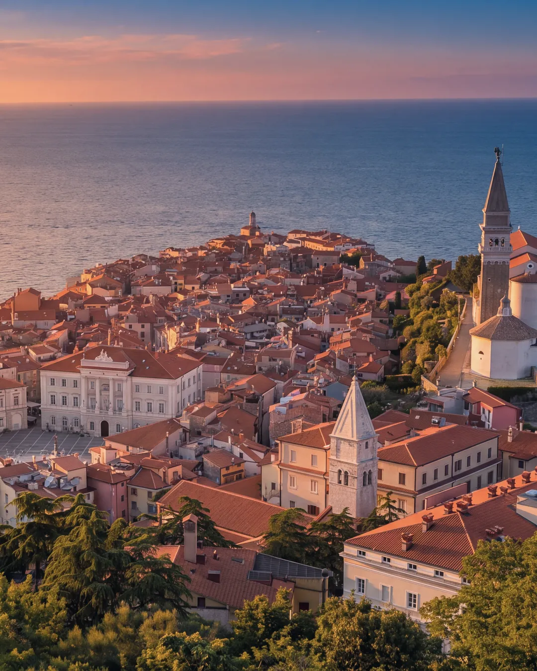
  • Piran from above at sunset: the peninsula with the red roofs of the old town, Tartini Square with the town hall, on the ridge to the right the church of St George with its bell tower and baptistery, another bell tower and the trees of the hill in the foreground; the open sea lit by the low sun.Reworked with AIThe midday light of the original becomes a sunset from the west: warm raking light on roofs and bell towers, long shadows, a warm sky at the horizon, a golden sheen on the sea; the trees in the foreground look warmer. The model removed the sailing boats and a motorboat's wake from the sea and the people on the path up to St George's. Framing, horizon, the shape and length of the peninsula, the roofs, the town hall, Tartini Square, St George's church with the baptistery and the other bell towers are unchanged. A first attempt that lowered the horizon and shortened the peninsula was discarded.
    Model
    nano_banana_2
    Source photo
    View over Piran from City Walls - Piran - Adriatic Coast - Slovenia - 02 (54567125624).jpg · Adam Jones from Kelowna, BC, Canada
    Licence
    CC BY 2.0
    Date
    5 October 2026
    Its line in the credits
    Piran from the walls. The sunset light was recreated with AI.

    Piran

    45 minfrom Piazza Unità, by car

    36 kmelevation 7 m

Seafront promenades, marinas, pine woods and spas

Riviera
All about Riviera
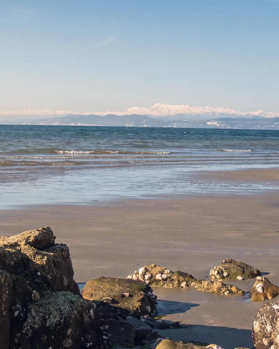
  • Low tide on the beach at Debeli rtič, Ankaran, in the afternoon: rocks covered with shells in the foreground, wet sand and small waves; across the gulf the Italian coast towards Trieste and, behind it, the snow-covered Alps.Reworked with AIThe clear winter light of the original (February) becomes warm afternoon light from the left: warmer rocks and sand, a sky with a few high clouds, blue-green sea. The Italian coast and the Alps on the horizon, already visible in the original, are sharper: the outline is that of the original, the fine details at that distance are the model's. The shell-covered rocks, the wet sand, the waves and the horizon line remain; nothing was added. Ankaran's pine wood does not appear: it is not in the source photograph.
    Model
    nano_banana_2
    Source photo
    Punta Grossa 23.jpg · Tiesse (Wikimedia Commons)
    Licence
    Public domain
    Date
    5 October 2026
    Its line in the credits
    Debeli rtič, Ankaran. The afternoon light was recreated with AI.

    Ankaran

    23 minfrom Piazza Unità, by car

    18 kmelevation 16 m
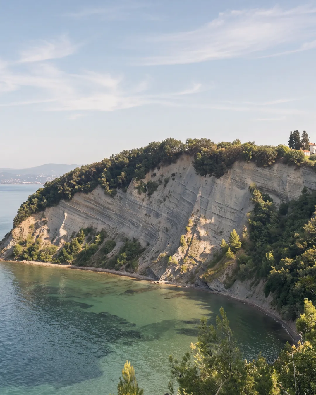
  • The flysch cliff of Strunjan and the Moon Bay at its foot, seen from the path along the edge in the morning: the grey layered face with vegetation on top, the cypresses and a house on the plateau, the narrow beach following the curve of the bay, clear water over the shallow seabed; in the background, across the gulf, the distant coast.Reworked with AIThe cumulus clouds of the original are replaced by a clear sky with a few high clouds; morning light from the left brings out the layers of the cliff; the turquoise water becomes an Adriatic blue-green, lighter over the sand near the shore. The model removed a container ship on the horizon. The cliff was not altered in shape, height or layering; the curve of the bay, the beach, the cypresses and the house on the plateau, the distant coast and the bushes in the foreground are unchanged.
    Model
    nano_banana_2
    Source photo
    Kuulahti (53226015473).jpg · Juho-Ville Marttila from Kuopio, Finland
    Licence
    CC0
    Date
    5 October 2026
    Its line in the credits
    Strunjan, the cliff and the Moon Bay. Morning light and sky recreated with AI.

    Strunjan

    35 minfrom Piazza Unità, by car

    31 kmelevation 1 m
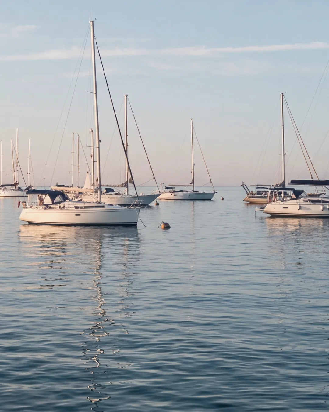
  • Sailing boats moored on buoys in the bay of Portorož, in the morning: white hulls, masts and rigging lit by the low sun from behind the camera, calm sea with reflections; on the left the breakwater with its light, the open sea on the horizon.Reworked with AIThe original is a backlit sunset with the boats in silhouette: it becomes a clear morning with the sun behind the camera lighting hulls, masts and rigging; a clear sky with a few high clouds instead of the sunset clouds. The number, position and height of the masts, the breakwater, its light and the buoys are those of the original; the details of the hulls (biminis, fenders, decks), black in the original, were drawn by the model. A name the model had written on a hull was covered locally with the hull itself. The frame is cropped at the bottom to bring the horizon to 58%.
    Model
    nano_banana_2
    Source photo
    Portoroz, Slovenia (28514511523).jpg · Jagd Panz
    Licence
    CC BY 2.0
    Date
    5 October 2026
    Its line in the credits
    The bay of Portorož. The morning light was recreated with AI.

    Portorož

    38 minfrom Piazza Unità, by car

    34 kmelevation 5 m

Terraces, olive groves and vineyards behind Koper

The hills of Koper

All about The hills of Koper

12 hills and hamlets behind Koper, each with its elevation and the minutes from the centre.

A stone plateau: black pine, Teran wine, sinkholes

The Karst
All about The Karst
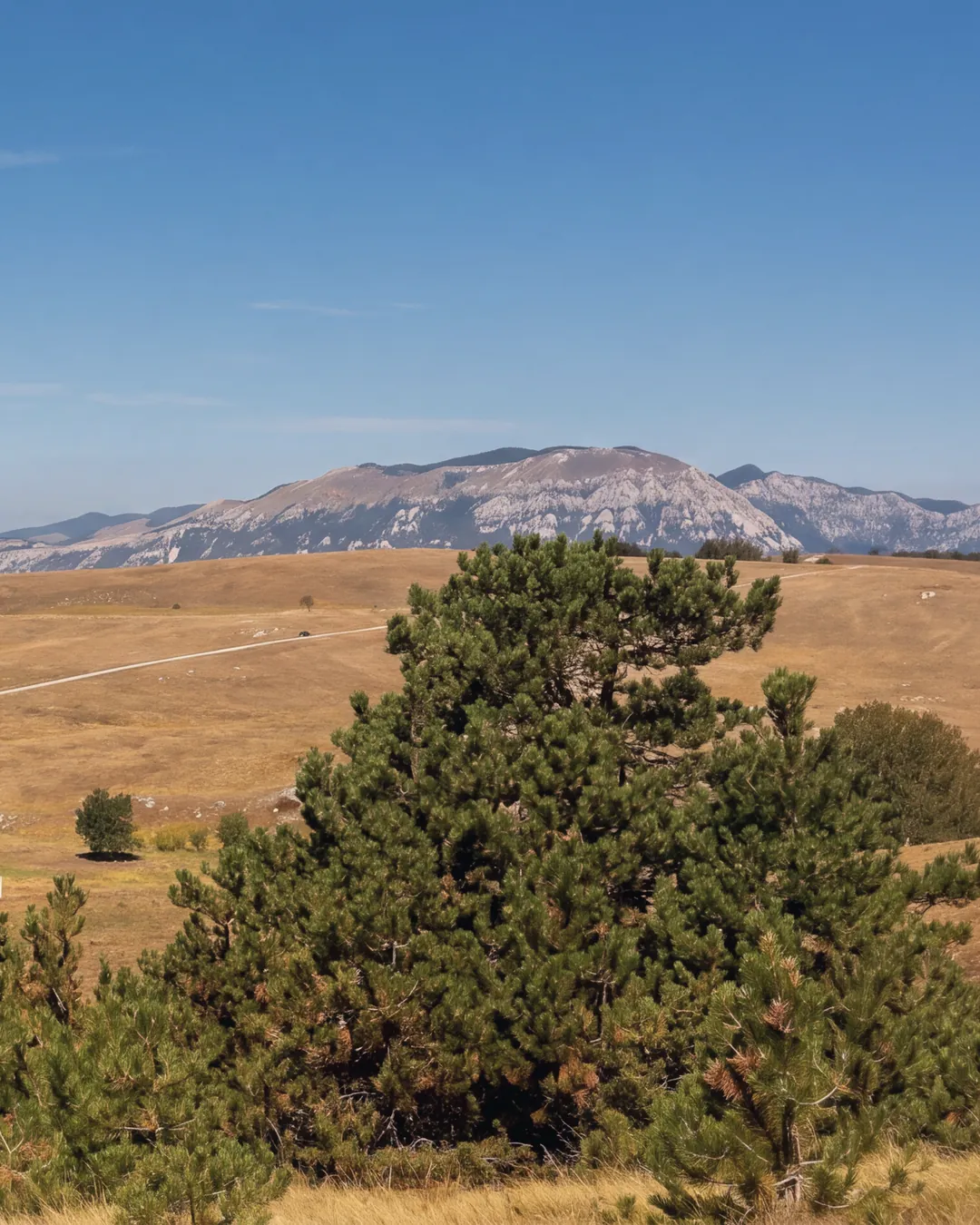
  • Dry grass pastures on Vremščica, in the Karst: clumps of black pine in the foreground, then limestone outcrops, a few solitary trees and a dirt track; on the horizon, a range of limestone mountains. Clear light, blue sky with a few high clouds.Reworked with AIClear bora-day light and a blue sky with a few high clouds instead of the hazy sky of the original; the orange cast and noise of the original removed, so the dry grass is straw-coloured again. Local retouch after generation: a tiny white shape the model had invented on the ridge was removed. The pines (number and shape), the rocks, the dirt track and the outlines of the plateau and mountains are unchanged.
    Model
    nano_banana_2
    Source photo
    Mount Vremščica (7968631252).jpg · ziomaurits
    Licence
    CC BY 2.0
    Date
    5 October 2026
    Its line in the credits
    Pastures and black pines on Vremščica, in the Karst east of Sežana and Divača.

    Sežana

    18 minfrom Piazza Unità, by car

    14 kmelevation 370 m
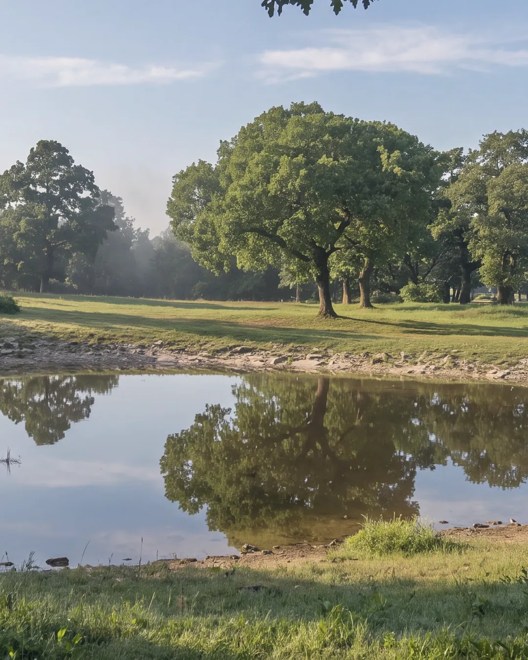
  • A karst pond among meadows and oaks at Lipica, in the morning: the water reflects the oaks and the sky, a white wooden fence on the right, a low hedge on the left and, among the trees, a white building; at the top, oak branches against the light. No horses.Reworked with AISoft early-morning light with a low sun from the left, dew on the meadow and a faint distant haze among the oaks, instead of the midday light of the original; clear sky with a few high clouds; the water is calmer and reflects oaks and sky. The white building in the background, barely glimpsed through the branches in the original, reads a little more clearly. The oaks (number and crowns), the outline of the pond, the hedge, the fence, the building and the branches at the top are unchanged.
    Model
    nano_banana_2
    Source photo
    Lipica, Karst pond.jpg · Ajznponar
    Licence
    CC0
    Date
    5 October 2026
    Its line in the credits
    A karst pond among the oaks of Lipica.

    Lipica

    23 minfrom Piazza Unità, by car

    15 kmelevation 403 m
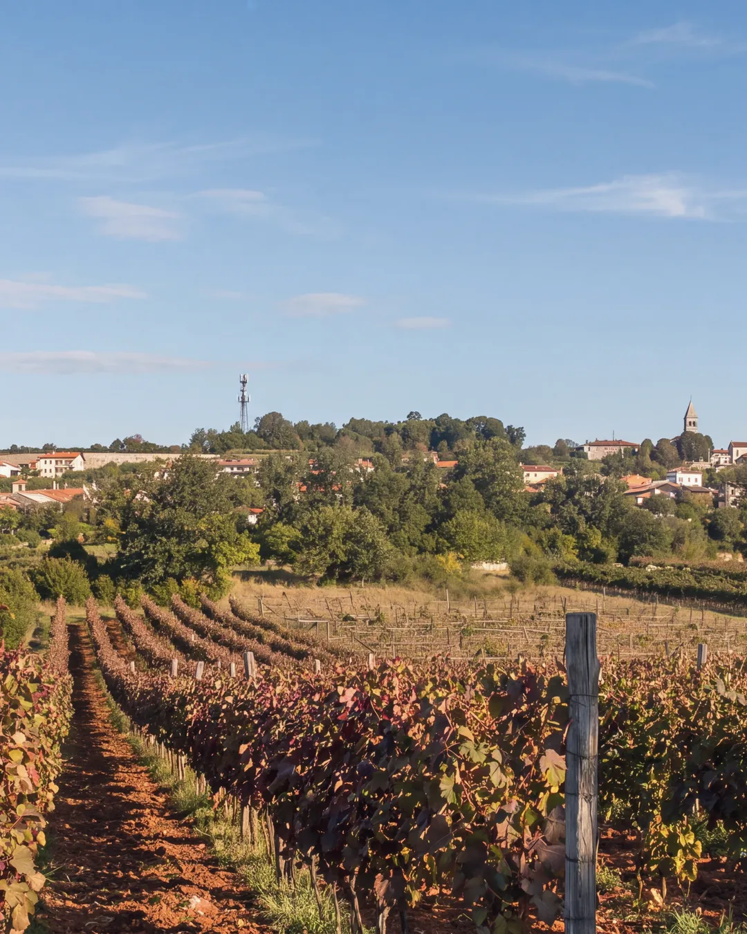
  • A vineyard on red soil below Tomaj, in the Karst: rows of reddening vines leading towards the village on the ridge, with the bell tower on the right and a telecommunication mast in the centre; two wooden poles in the foreground, a meadow on the left. Morning light, clear sky.Reworked with AISeason moved to early October: in the original, taken in September, the vine leaves are green; here they turn red and rust and the grass is a little drier; clear morning light with a low sun from the left; clear sky with a few high clouds instead of the cumulus clouds of the original. The village, the houses, the bell tower, the mast, the rows and their direction, the poles in the foreground, the red-earth path and the trees are unchanged. No wall or tree added. A first generation was discarded because it removed the mast.
    Model
    nano_banana_2
    Source photo
    Tomaj view from the valley (2865577153).jpg · Gorupka from Tomaj, Slovenia
    Licence
    CC BY 2.0
    Date
    5 October 2026
    Its line in the credits
    Tomaj from the valley floor, between rows of vines on red soil.

    Tomaj & Dutovlje

    26 minfrom Piazza Unità, by car

    20 kmelevation 357 m
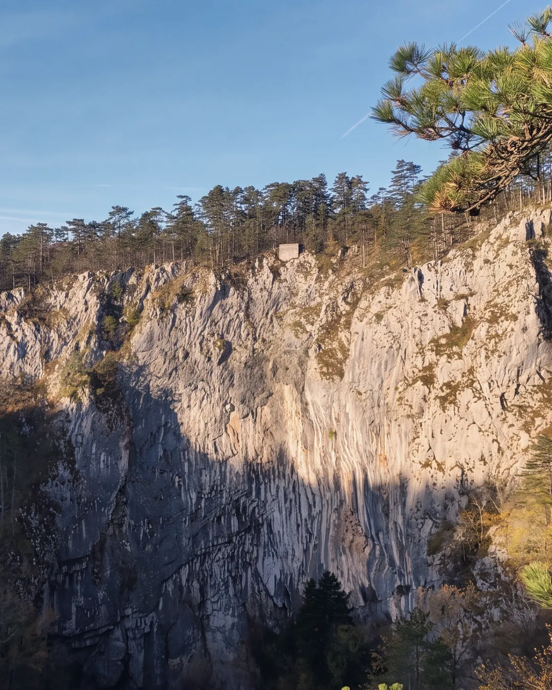
  • The western wall of Velika dolina, the large collapse doline of the Škocjan Caves, seen from the rim in the open air: pale limestone with vertical fluting, partly in shadow, a line of black pines along the edge and a small stone structure; on the right, pine branches in the foreground. Low autumn light.Reworked with AIWarmer low autumn light on the sunlit rock, with the shadow on the left part of the wall left where it was; clear sky with a few high clouds; slightly more autumnal colours in the woods. The wall and its fluting, the rim with its pines, the small stone structure, the trees in the doline and the branches in the foreground are unchanged. No cave interiors.
    Model
    nano_banana_2
    Source photo
    Skocjan Caves, view of Velika dolina's western wall 09.jpg · Ajznponar
    Licence
    CC0
    Date
    5 October 2026
    Its line in the credits
    Velika dolina, Škocjan: the west wall seen from the rim, outside the caves.

    Divača

    27 minfrom Piazza Unità, by car

    26 kmelevation 438 m
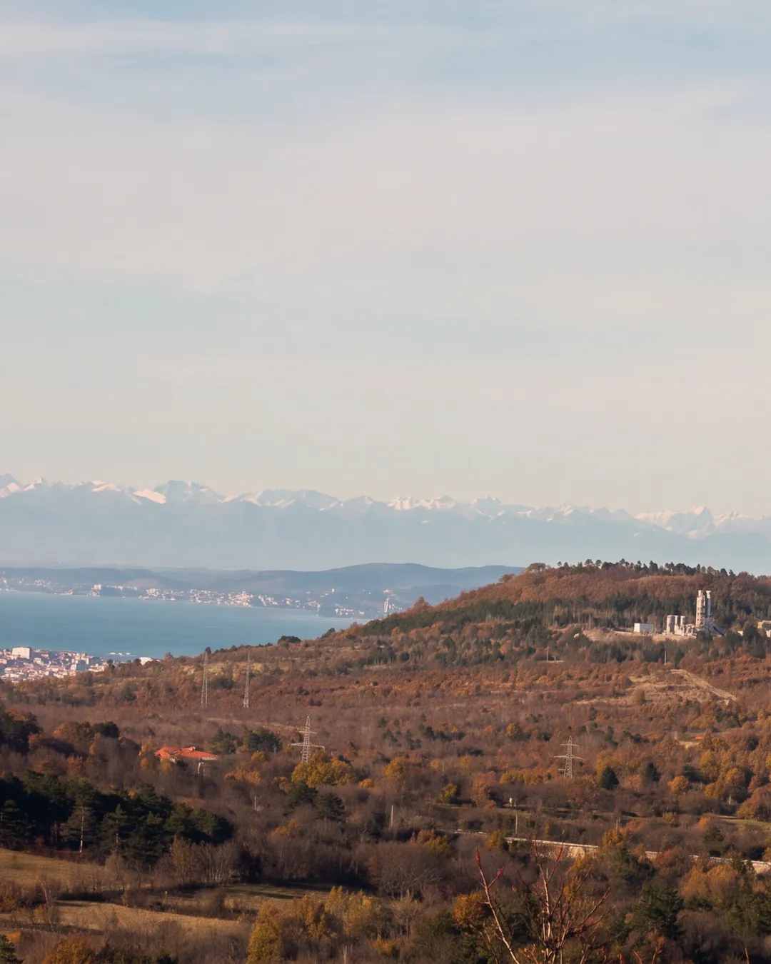
  • The Karst around Črnotiče in autumn: brown and golden woods, a hill with a quarry and its plant, houses and a bell tower on the right, power pylons; on the left the sea of the Gulf of Trieste with a town on the coast, snow-capped Alps on the horizon; bare branches in the right foreground. Late-afternoon light.Reworked with AIWarm late-afternoon light with a low sun from the left and long shadows, warmer autumn colours in the woods; less haze, so the sea and the Alps read better; natural sea colour. The hill with the quarry and its plant, the houses, the bell tower, the pylons, the coastline, the outline of the Alps and the branches in the foreground are unchanged.
    Model
    nano_banana_2
    Source photo
    View of Karst area around Crnotice from the Our Lady of the Snow church.jpg · Ajznponar
    Licence
    CC0
    Date
    5 October 2026
    Its line in the credits
    From the Karst above Črnotiče towards the Gulf of Trieste and the Alps.

    Kozina

    25 minfrom Piazza Unità, by car

    18 kmelevation 491 m

Open doorsLjubljana and the rest of SloveniaWe start with the strip that borders Trieste. Ljubljana, 71 min from Piazza Unità, is the next step.DistancesThe gulf, measured in minutesFrom Trieste, Ljubljana, Udine, Venice, Milan, Munich, Vienna, Graz, Salzburg and Klagenfurt: every place, every time.

Private Collection

Let me know when the first homes in Slovenia come in

Today we have no homes in Slovenia: we start during 2027, and those on the list hear first.

Put me on the list