You are on SloveniaVillas, from TriesteVillas, a real estate group based in Trieste. The luxury of TriesteVillas, now on the Slovenian coast and the Karst. Leave us your details
10 min from the centre of Koper · 29 min from Piazza Unità
Šalara
You are on SloveniaVillas, from TriesteVillas, a real estate group based in Trieste. The luxury of TriesteVillas, now on the Slovenian coast and the Karst. Leave us your details
The facts
- Elevation
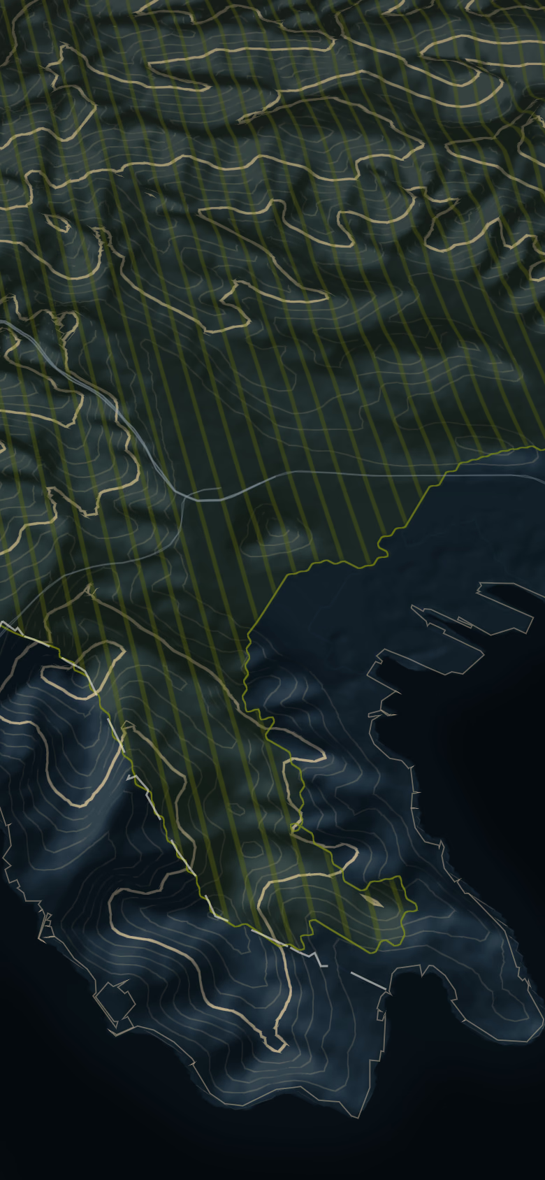
- 46 m – 190 mground elevation around the point; at the point 107 m
- From the centre of Koper
- 10 min5.7 km
- From Piazza Unità d'Italia
- 29 min24 km
- From Ljubljana
- 75 min109 km
- From Munich
- 5 h 29 min510 km
- From Vienna
- 5 h 14 min487 km
OSRM on OpenStreetMap data, without traffic, measured on 10 October 2026. Arrival and departure at the main square. · EU-DEM (Copernicus): ground elevation, not buildings.
Elevations describe the ground of the hill, not a house. Prices are never given for a single hill: too few sales for an honest median.
What the sources say
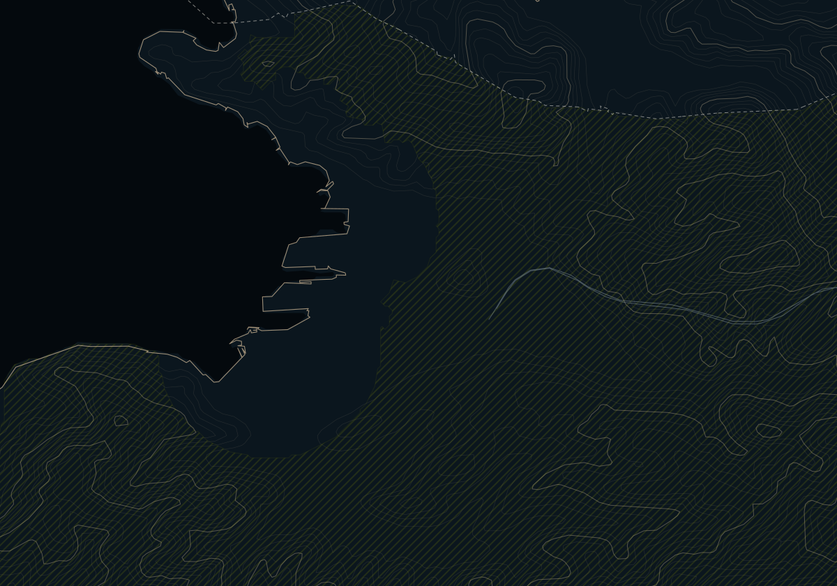
Two places answer to the name Šalara, and a buyer should keep them apart. The village of Šalara (Salara, official in Italian too) is a bilingual settlement on the hill south of the town, in the Olmo-Prisoje local community. Its old core, Stara Šalara, still has houses from before 1945; around it stand houses of two or three storeys, half of them built after 1982. It is countryside a short drive from the centre (10 min); its sea views, as far as the terrain shows, are partial, with the exposure still to be checked, and its children go to the primary school at Šmarje.
The limit is the road. The Koper–Dragonja road crosses the area, and the draft zoning plan calls it a transit zone with heavy traffic, while also planning a viewing terrace beside it. When cars still needed a vignette on the coastal expressway, the government named Šalara among the places through which drivers avoiding the toll were cutting; since January 2026 the expressway has been free for cars, as a temporary measure.
Lower Šalara, as maps call the flat district along Vanganelska cesta and Partizanska ulica, is another place, in the Škocjan local community: single-storey terraces from the mid-1960s, a few metres above the sea, with no view, in a depression the zoning plan lists as exposed to flooding, near the shops of Šmarska cesta.
Honestly
Choose it if
- You want a house with land on the edge of town, 10 min from the centre
- You want an officially bilingual village, where Italian is used alongside Slovene
- You are drawn to a village with an old core rather than a 1970s estate
Look elsewhere if
- You want a quiet road: the Koper–Dragonja road crosses the area
- You want an open sea view: here it is partial at best, as far as the terrain shows
- You are offered a house in lower Šalara as if it were the hill village: the flat district is another place, exposed to flooding and without a view
Private Collection
Looking for a home in the hills of Koper? Tell us what you are looking for
For homes in Slovenia an agent entered in the Slovenian register replies, suggests homes and takes you to the viewings.
Sources
2
- OSRM on OpenStreetMap, without traffic · 10 October 2026
- EU-DEM (Copernicus) · 5 October 2026
OSRM times assume free-flowing traffic. Real driving takes longer; by how much we have not yet measured. In summer, queues on the coast road can stretch the last leg considerably.